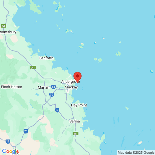
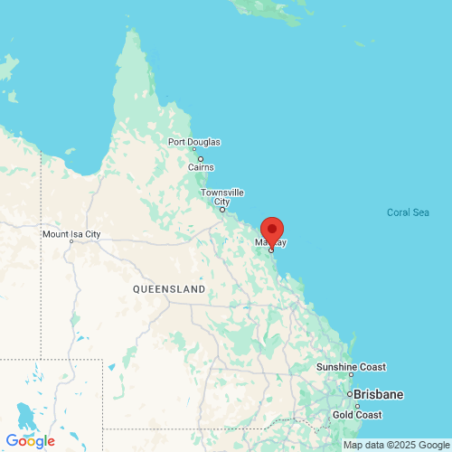
Mackay Harbour (east of southern breakwater) wave monitoring
Data currently unavailable
This site is down and will be fixed as soon as a replacement buoy can be deployed
See other Mackay & Whitsundays monitoring sites.
Tide times
Tide table: Visit the Bureau of Meteorology website
Wave buoy information
- Date of installation
- 10 May 2023
- Current location
- Latitude: -21.1125670000
Longitude: 149.2424830000 - Water depth
- 12 metres
- Instrument
- AXYS TRIAXYS Directional Wave & Current Buoy
Jointly operated by the Department of Environment, Science and Innovation and the North Queensland Bulk Ports Corporation Limited.
See other Mackay & Whitsundays monitoring sites.
Download data
Mackay Harbour (east of southern breakwater) wave monitoring site data.
All wave monitoring sites data for the last seven days.

Maps
 Open in Google Maps
 Open in Google Maps
Previous version
The previous version of the wave monitoring pages are still available.
Wave monitoring disclaimer
These pages copyright ©2026 Queensland Government (Department of the Environment, Science, Tourism and Innovation).
The materials presented on this web site are distributed by the Queensland Government as an information source only.
While reasonable care and attention has been exercised in the collection and processing of this data it must be treated as unverified.
The State of Queensland makes no statements, representations or warranties about the accuracy or completeness of, and you should not rely on, any information contained on this web site. The State of Queensland disclaims all responsibility for information contained on this web site and all liability (including without limitation, liability in negligence) for all expenses, losses, damages and costs you may incur as a result of the information being inaccurate or incomplete in any way for any reason.
You should always check with the Bureau of Meteorology for the latest weather and coastal waters forecasts for your area before putting to sea.