Mission Beach wave monitoring
Data currently unavailable
This site is currently having technical issues and will be updated as soon as possible.
See other North Queensland monitoring sites.
Tide times
Tide table: Visit the Bureau of Meteorology website
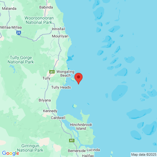
Wave buoy information
- Date of installation
- 10 July 2025
- Current location
- Latitude: -17.985483
Longitude: 146.203783 - Water depth
- 19 metres
- Instrument
- Sofar Spotter
Jointly operated by DETSI in partnership with AIMS, UWA and IMOS
See other North Queensland monitoring sites.
Download data
All wave monitoring sites data for the last seven days.

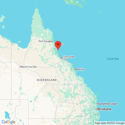
Maps
 Open in Google Maps
 Open in Google Maps
Previous version
The previous version of the wave monitoring pages are still available.